Participatory Mapping: How Communities Map Their Own Places, From Sketch Maps to GIS
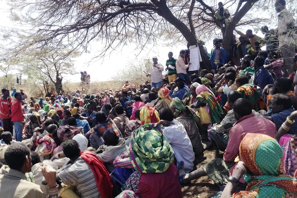
Maps decide a great deal: where roads go, which land counts as empty, which streets get investment and which are labelled as problems. Participatory mapping turns the process around, so that the people who live in a place record what they know about it. The results can be as simple as a chalk drawing on the ground or as elaborate as a geographic information system shared with a city council.
Where participatory mapping comes from
Drawing a map with residents is an old idea, but it became a recognised research method through participatory rural appraisal (PRA), a set of visual techniques promoted by Robert Chambers and others in the late 1980s and 1990s. Villagers drew maps of their land, water sources and households on the ground or on paper, which outsiders had often assumed they could not do. Chambers' series of 1994 articles in World Development presents visual methods such as mapping and modelling as central to PRA practice.
A second root lies in Indigenous land claims. From the 1970s onwards, Indigenous peoples in Canada, Australia, Latin America and South-East Asia documented their use and occupancy of land to support legal claims. The geographer Nancy Lee Peluso used the term "counter-mapping" in a 1995 article about forest territories in Kalimantan, Indonesia, to describe maps made by communities to contest official maps. Since the 2000s, cheaper GPS devices, satellite imagery and open platforms such as OpenStreetMap have brought "participatory GIS" within reach of small organisations.
Today, participatory mapping is used in public health (mapping places where people feel safe or unsafe), planning, environmental justice, disaster preparedness and housing. It fits naturally inside participatory action research and community-based participatory research.
The main techniques
| Technique | What it involves | Good for |
|---|---|---|
| Ground or sketch maps | Drawing freehand on the ground, a large sheet or a whiteboard, without a base map | Quick overviews, groups with little formal schooling, first workshops |
| Base-map annotation | Marking a printed street map or aerial photo with stickers, pens and notes | Locating specific problems or assets with reasonable accuracy |
| Transect walks | Walking a route with residents and recording what they point out | Conditions that are only visible on site, such as pavements, lighting or damp housing |
| Participatory 3D models | Building a scale relief model of an area and placing features on it | Rural and mountainous areas, land-use negotiation |
| GPS and mobile surveys | Recording coordinates, photos and short questionnaires with phones or GPS units | Precise data that can be combined with official datasets |
| Open online mapping | Adding features to shared platforms such as OpenStreetMap | Making local knowledge publicly available and reusable |
Running a mapping workshop
- Agree what the map is for. A map to show a council where pavements are dangerous needs different information from a map of places where young people feel welcome.
- Choose the base. Start with a blank sheet if you want people's own sense of space; use a printed base map if you need locations to be accurate. Large prints (A1 or bigger) let several people work at once.
- Prepare a simple legend. A few coloured stickers for categories such as "problem", "asset" and "change needed" are easier than a long list of symbols. Let the group add categories.
- Map in small groups. Groups of four to six people let everyone contribute. Consider separate groups for people whose experience of a place may differ, such as women and men, or younger and older residents.
- Record the conversation. Ask a note-taker in each group to write down the stories behind each mark. Photograph the maps at every stage.
- Bring groups together. Compare maps and discuss differences. Disagreements often reveal the most interesting findings.
- Digitise and return. Transfer the results to a digital map if needed, and bring a clean version back to participants to check before anything is published.
Combining maps with other evidence
Participatory maps become more persuasive when they are combined with official data. A group that maps the homes where residents report mould, for example, can compare its map with the age of the housing stock or with local health statistics. Photographs taken on transect walks can illustrate each point, an approach close to photovoice. Tenants' groups often combine all three when they set out on resident-led research into their own streets.
Ethics: what should not go on the map
A map fixes knowledge in a form that can travel far beyond the people who made it. Practitioners have documented several risks:
- Exposure. Mapping informal settlements, undocumented residents or places used by marginalised groups can make them easier to target for eviction or policing.
- Sacred and sensitive sites. Indigenous communities may choose not to show the location of sacred places, burial grounds or resources.
- Privacy. Marking individual homes ("damp", "rent arrears", "illness") can identify households even without names.
- Appropriation. Once published, a map can be used by companies or authorities for purposes the community never intended.
- Who speaks. A map made by a few vocal residents can be presented as "the community's view" while excluding others.
Good practice is to agree, before mapping starts, who owns the original maps and the digital files, what level of detail will be published (for example aggregated to street blocks rather than individual homes), and who must approve any external use. These questions are closely linked to the principles of community data governance discussed in our citizen science section.
Sources
- Robert Chambers, "Participatory rural appraisal (PRA): analysis of experience", World Development, vol. 22, no. 9, 1994, pp. 1253-1268.
- Nancy Lee Peluso, "Whose woods are these? Counter-mapping forest territories in Kalimantan, Indonesia", Antipode, vol. 27, no. 4, 1995, pp. 383-406.
- International Fund for Agricultural Development (IFAD), Good Practices in Participatory Mapping, 2009.
- Robert Chambers, "Participatory mapping and geographic information systems: whose map? Who is empowered and who disempowered? Who gains and who loses?", Electronic Journal of Information Systems in Developing Countries, vol. 25, 2006.
 Methods
Photovoice, step by step
Cameras, group discussion and an exhibition for decision-makers: how to run a photovoice project, from training to ethics.
 Methods
The principles of community-based participatory research
The nine principles behind CBPR, what they ask of researchers and community partners, and how to tell real partnership from research that is merely located in a community.
 Co-production & impact
How residents research housing in their own neighbourhood
Condition surveys, rent surveys, walking audits, photos and maps: a step-by-step guide to resident-led housing research, with ethics and examples.